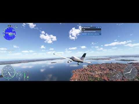
Venice from above
Few cities are as immediately identifiable from the air as Venice. Built across a lagoon on the Adriatic coast of northern Italy, its canal network, the curve of the Grand Canal, and the surrounding barrier islands of the Venetian Lagoon create a street plan unlike almost anywhere else. This 22-minute flyover, presented in 4K, uses that unique geography as its subject.
Rather than following a single aircraft route between two airports, this video is framed around the city itself — circling and tracing the lagoon’s islands and waterways in a way that lets the shape of Venice take center stage.

The lagoon setting
Venice sits within a large, shallow lagoon protected from the open Adriatic by a string of barrier islands. That lagoon setting, combined with the city’s dense historic core, gives this flight a visual character very different from the mountain and coastal routes featured elsewhere on the channel — more about intricate detail at low altitude than wide, open landscape.
Rendered from real-world data
As with the channel’s other locations, the terrain, water, and built-up areas shown here are generated by Microsoft Flight Simulator 2024 from real-world geographic and satellite data, rather than hand-built scenery — meaning the layout of the canals and islands reflects the real city.
Watch the flyover
The full flight is embedded above. The original upload can also be viewed on YouTube.
Related flights
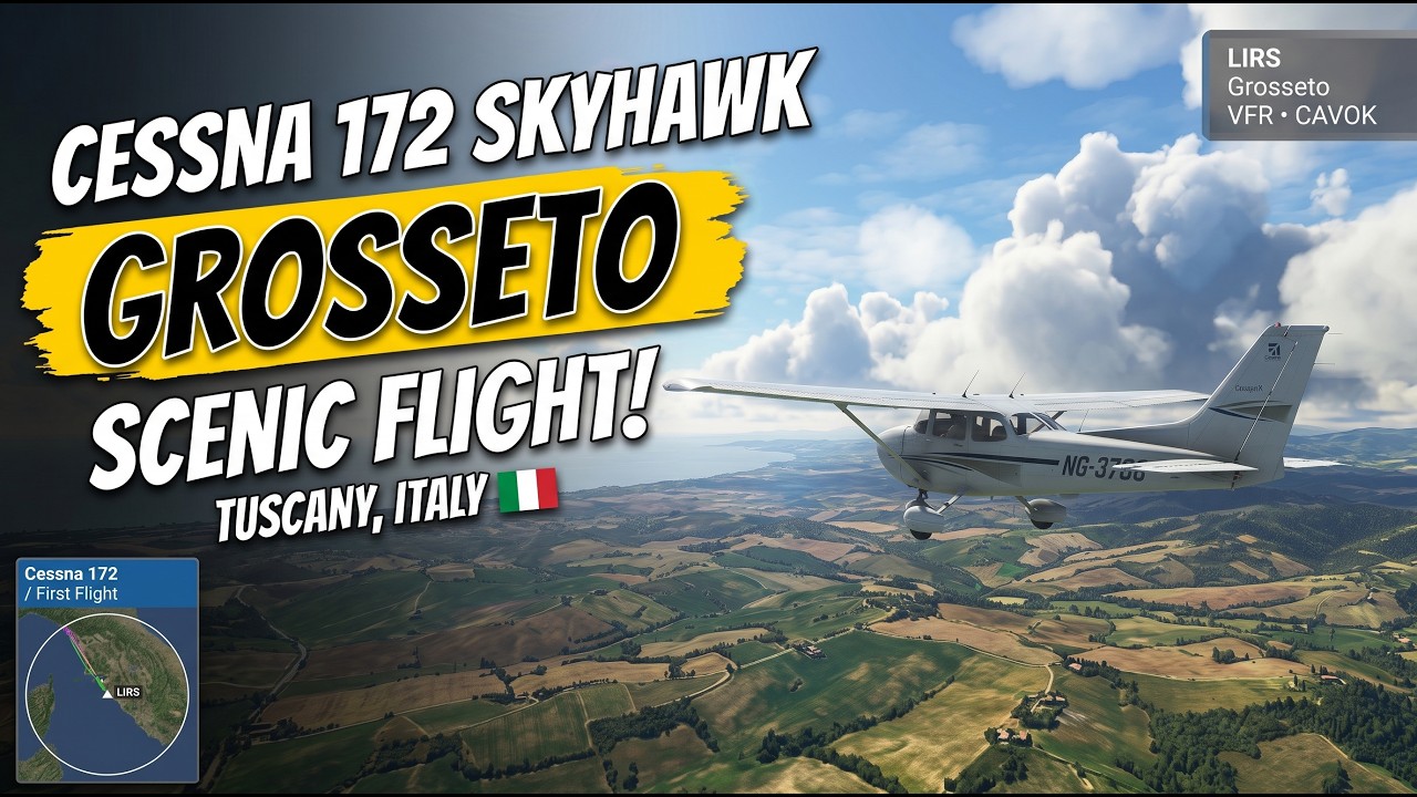
For another Mediterranean destination, see the Barcelona approach video; for more of Italy, see the Grosseto flight over Tuscany and the scenic tour around Elba Island, all linked below.